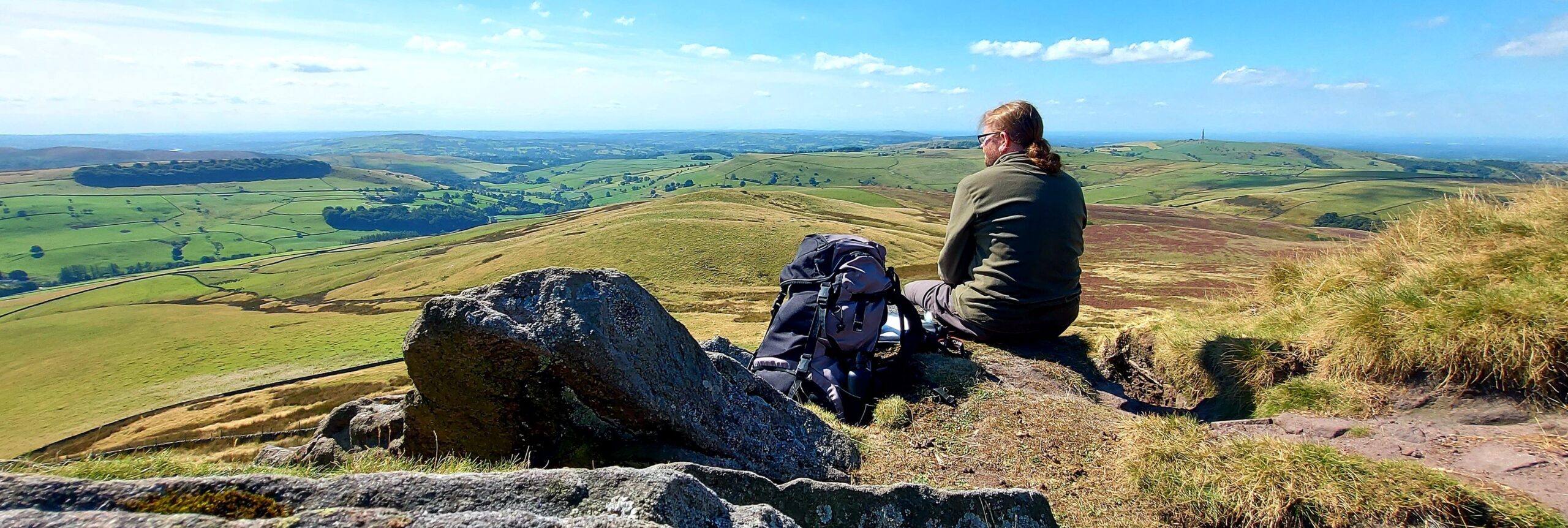
On their first day in Cheshire, Gowther Mossock picked up Colin and Susan from Wilmslow railway station and took them back to Highmost Redmanhey on the farm cart pulled by Prince (Weirdstone, Chapter 1: Highmost Redmanhey). The Mossocks are a reminder of a former age, already lost, at a time when the motor car was becoming ubiquitous. Their anachronistic ways are a useful link between the modern world and the mythic landscape that the children are about to enter.
Alan Garner tells us that, as they left the village, the travellers passed along a tree-lined lane. This was probably Hough Lane: a north-to-south road that links Wilmslow with the Hough area of Alderley Edge (the Hough lies on the lower northern slopes of the Edge itself). As they rounded a bend in the road, Colin’s breath was taken away by his first sight of the Edge which appeared, abruptly, on the horizon just one mile away. This would have been in the vicinity of the junction between Hough Lane and Heyes Lane. Previously, the Edge was hidden from view via a combination of the low-lying land and surrounding trees.
Junction of Heyes Lane & Hough Lane
Approximate Location:
OS Grid Reference: SJ 8565 7957
Latitude: 53.18.46N Longitude: 2.13.0W

At the southern end of Hough Lane, Gowther turned right onto the Mottram Road, which hugs the lower contours of the Edge. He then stated that:
“We’re coming close to Alderley village now, sithee : we’ve not come the shortest way, but I dunner care much for the main road, with its clatter and smoke, nor does Prince here. We shanner be going reet into the village. Now here’s wheer we come to a bit of steep.”
Garner, A., 1960 (1989 edition), The Weirdstone of Brisingamen. William Collins / Lions. London. p17.
At this point, the travellers were at a crossroads and Garner notes that Gowther turned to the left and up onto the lower slopes of the Edge. The crossroads was the intersection between Mottram Road and Trafford Road. Gowther turned left onto the southern branch of the latter.
At this stage, Garner is a little vague about the route taken as, to further ascend the Edge, Gowther and the children would have needed to take another left turn onto either Woodbrook Road or Macclesfield Road. Gowther would probably have chosen the former as it is a much quieter route than the main road between Alderley Edge and Macclesfield. We next learn that: “On either side were the walled gardens of the houses that covered the western slope of the Edge.” This is a close description for Woodbrook Road.

Had they but known it, one of the houses that the children would have passed, on their left-hand side, was St Mary’s Clyffe – owned by Selina Place (the Morrigan). At the top of Woodbrook Road, Gowther would have had to turn Prince onto the Macclesfield Road. They then went over the top of the Edge and past The Wizard.
The Wizard
Approximate Location:
OS Grid Reference: SJ 8590 7730
Latitude: 53.17.33N Longitude: 2.12.46W


“Then they turned down a narrow lane which ran over hills and hollows and brought them, at the last light of day, to a small farmhouse lodged in a fold of the Edge.”
Garner, A., 1960 (1989 edition), The Weirdstone of Brisingamen. William Collins / Lions. London. p17.
It could be that Gowther opted to get off the Macclesfield Road as soon as possible. If so, then he probably turned right onto Bradford Lane, before taking Finlow Hill Lane and the track which went over Clinton Hill onto Slade Lane. Alternatively, he may have stayed on the Macclesfield Road a while longer and turned right directly onto Slade Lane. Whichever route he opted for (I suspect it was the former), at the southern end of Slade Lane Gowther turned left onto Hocker Lane, which would have shortly brought the children to Highmost Redmanhey.


