Approximate Location
OS Grid Reference: SJ 9761 6954
Latitude: 53.13.23N Longitude: 2.22.14W
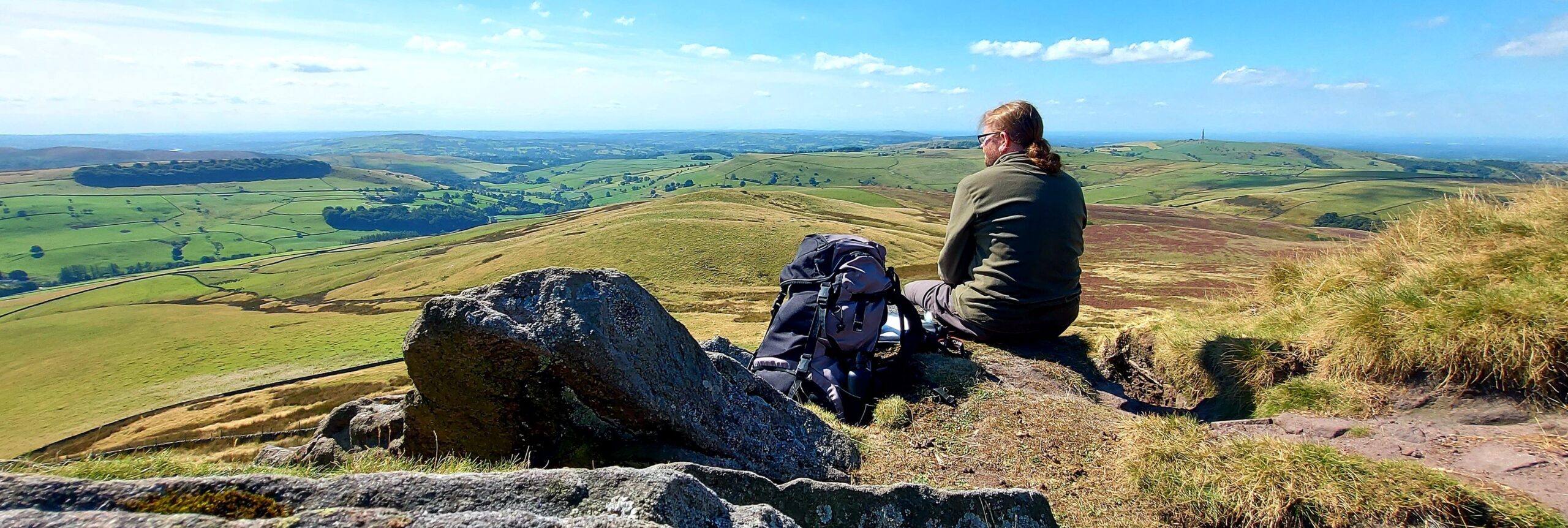
Shuttlingslow is a conical-shaped hill, approximately 8.5 miles to the south-east of Alderley Edge, which stands at 506m above Ordnance Datum. It was the agreed meeting point between Cadellin and the children, Gowther, Fenodyree and Durathror after their flight from Highmost Redmanhey. As such it was supposed to be the culmination of the journey which took place throughout Weirdstone, Chapters 16-20. However, when they arrived, Cadellin was nowhere to be seen. Meanwhile, the morthbrood and their allies closed in on the fugitives (Weirdstone, Chapter 20: Shuttlingslow).

The travellers approached the hill, in the pre-dawn, wintery gloom on the morning of Friday the Thirteenth, from the north-west through the Macclesfield Forest. Having left the woodland cover, they struck out onto an open moorland footpath which was worryingly marked by the tracks of “hound, svart, and others.”

Finally resolved to reach the summit of Shuttlingslow, the fugitives push on determinedly:
“It was a hard trek, and a stiff climb at the end of it, but both were achieved without sight of the morthbrood or any of their kind. Up they toiled, hands and feet working together on the near-perpendicular slope; up and up, till their lungs felt torn and their hearts were bursting.”
Garner, A., 1960 (1989 edition), The Weirdstone of Brisingamen. William Collins / Lions. London. p206.

Having reached the crest, the exhausted travellers “lay panting on the flat summit ridge. All about them was nothing but air… they could watch all the surrounding land except for the southern approach, which was hidden by the far end of the ridge. The crest of Shuttlingslow is only a few yards wide“.

As the dawn broke, the weary fugitives spotted a flock of birds emanating from the direction of Alderley Edge. Soon they were sighted and messages sent, to other flocks and the morthbrood, to assemble on Shuttlingslow.

Colin realised that Cadellin might not be visible if he approached the summit via the southern route, due to the ridgeline, but a mad dash in that direction was cut off by an attack by the birds which the fugitives only narrowly managed to fight off.


Noting a large band of svarts heading towards Shuttlingslow from Wildboarclough, to the south-east, Susan took the initiative and began a desperate run to the south-west and off the summit of the hill towards Piggford Moor.


Shuttlingslow is the third highest peak in Cheshire. It is formed of alternating layers of mudstones and coarse sandstones laid down in a delta system during the Carboniferous period. The summit is formed from Chatsworth Grit and the lower slopes from Roaches Grit. The place-name derives from the Old English personal name “Scyttel” and the word for hill: “hlaw” – literally meaning Scyttel’s Hill. Although the peak was formerly spelled Shuttlingslow or Shuttlingslowe, since the 1980s it has routinely been rendered as Shutlingsloe – apparently based on a spelling mistake which got out of hand!


