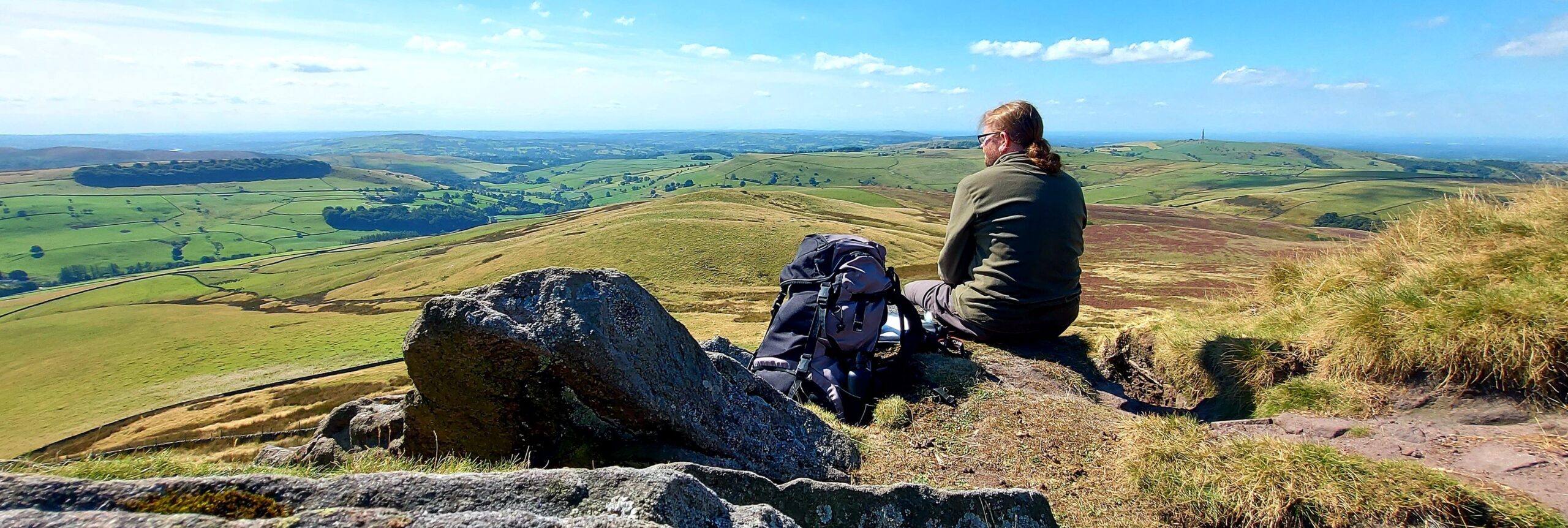
Approximate Location:
OS Grid Reference: SJ 84858 74358
Latitude: 53°15′58″N , 002°13′43″W
A narrow and curving piece of woodland to the north-east of Monk’s Heath.
“For much of its length it was very narrow, only a matter of feet in places, but it gave splendid cover from the air. After half a mile the wood swung right and headed south once more : it curved over the brow of a low hill, and from there a good view of the surrounding countryside was obtained.”
Garner, A., 1960 (1989 edition), The Weirdstone of Brisingamen. William Collins / Lions. London. p172.
The plantation was resorted to for cover by the fugitives in Weirdstone: Chapter 17 – Mara as a route to get between the Wood of Radnor in Alderley Park and the Bagbrook. It was from the southernmost point of Dumville’s Plantation that Gowther spotted Gaberlunzie on Sodger’s Hump.

